July 30 – August 5
How we got here:
(Martin here, again.) In preparing for our wandering, we knew that we wanted to spend some time in the outdoors. However, we needed to pick activities that were not gear-intensive as we really couldn’t take much with us. So, after talking with a few friends and doing some minimal research we settled on doing the Walkers’ Haute Route, a trek from Chamonix to Zermatt, staying in mountain huts or villages each night.
As the trip got closer and I started looking into the logistics of booking everything and what to do with our extra luggage while we hiked, I decided this was a good time to let someone else step in. I found a company that would arrange all of the bookings and hold our luggage for us for about $400, which was only a bit more than some of the luggage storage options I found (Switzerland is expensive…). While this option did result in a number of emails back and forth, on the surface it looked like it would be great.
In the end we hiked for 11 days, covered about 100 miles, 33,000 feet of elevation gain, and nearly the same in descent by foot. There was also the occasional gondola and bus to keep us on our itinerary. The trail did prove to be a bit more challenging than I expected and a little less remote. However, it continuously delivered world class views and took us to many small towns we would not have visited otherwise.
Day 0:
Our last full day in Chamonix, we spent the morning doing a grocery run and then had a lazy day around town. We met with the logistics company in the afternoon to have our briefing and get our maps and that is when the stress-free became the stress-full. Despite no less than five emails confirming our dates, they had booked everything one day off. Short story is that after they threatened just to cancel everything, they then said that they would rebook while we were on the move. They were able to rebook night one on the spot and we decided to go with it, but this added a bit of a cloud over the trip that we both struggled to shake off until they had confirmed everything through the end of the trip, somewhere around day 7.
After the fun of the meeting, we headed back to our apartment for some last-minute packing and some dinner made in our Airbnb’s pint-sized kitchen.
(Check out photos from our few days in Chamonix here!)

Day 1:
We woke up to rain and decided that we didn’t need to get moving too fast as the weather was supposed to improve later in the morning. I dropped our excess luggage off and was informed that we now had reservations for the first two days of hiking. This was important as the first two days shared accommodations with the Tour du Mont Blanc (see Chasing Davis for their recent TMB write up). Once we got moving, we took the bus from Chamonix to Montroc and shortcut the valley section (which we had mostly day hiked earlier). We started moving on the trail with the rain done, around 10AM, and hiked uphill for the next three and a half hours looking back to views of Mt. Blanc. We also got a good view of the trail that we went up earlier in the week. At the top of the pass there was a very run-down hut run by a woman who apparently hates people (we had been warned and she did not disappoint according to Theo; I hid outside). We opted not to stop for long here and kept on going for the day. The rest of the day was a long downhill to Trient, a small town just over the border into Switzerland. We spent the rest of the afternoon reading and enjoying the views up valley. Dinner was a bit crowded and noisy—we could barely hear the folks across the table from us—but the giant pot of fondue fueled us up for the next day.




Day 2:
The weather reports were looking clear and we decided to take the harder variation on the day and go up and over Fenêtre d’Arpette, which started out with about a four and a quarter hour hike uphill with stunning views of the Trient Glacier along the way. We took our lunch break along with most folks on the trail at the top of the col before starting the four-hour descent to our lodging for the night. This had us moving out of the rugged mountains of the French side and into more pastoral land. It turned out that it was Swiss Independence Day and there were a bunch of fireworks in the nearby town. Unfortunately they didn’t start until 10PM at which point we were already asleep…


Day 3:
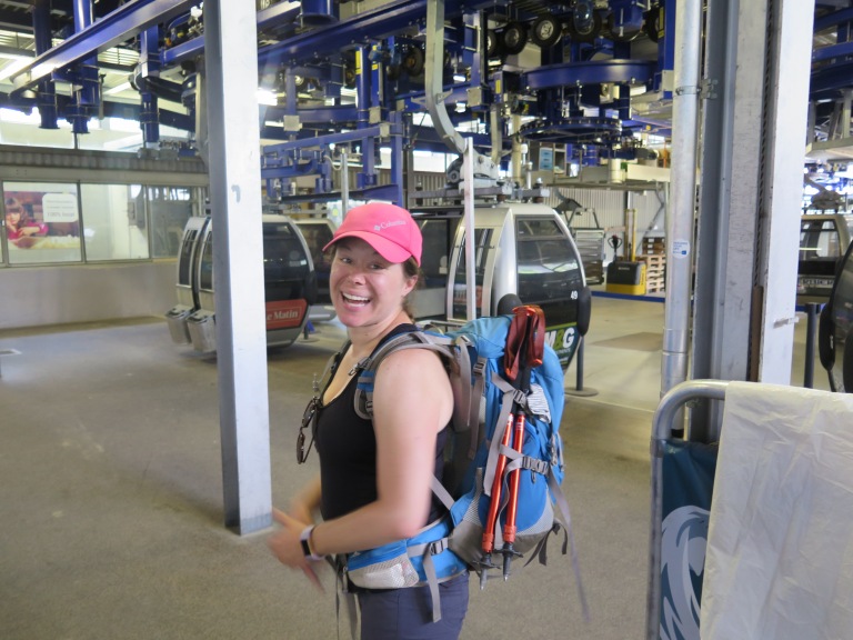
We started the day hiking from our accommodations to Champex, where the signs of the festivities from the previous night were everywhere: burnt-out fireworks and empty bottles surrounded the quant little lake. We found a bakery and put Theo’s French to good use acquiring some provisions. The next three hours were a very pleasant descent down through a farming valley and small towns until the junction of the Val de Bagnes. On the way down we passed an herb farm that was supplying Ricola and immediately had the “Riiicolaaaa” from the advertisements stuck in our heads. The next hour and a half would have been best skipped as it was mostly road walking; next time we would opt to grab the bus. We arrived in Le Chable and found the grocery store closed for lunch until 1:30PM, luckily there was a pizza place right above it. So we had a nice hiking lunch of pizza and beer before stocking up on food for the next two days. This was also the first significant variation from the traditional route that the logistics company used for time savings: Instead of making a day of hiking to the Mont Fort refuge, we used the gondola system to skip about 4,500’ of uphill hiking through a ski resort and then had a pleasant hour and a half walk to the hut. We enjoyed the late afternoon lounging on the deck and reading with a great view.




Day 4:
This was one of the bigger days on the route, even before the two added hours (we will get to that soon…). The route had us starting off on a narrow trail (marked with a little climber instead of a hiker), then crossing three different cols before our final stop. We were moving by 7:45AM which was behind most of the groups. In general, in summer in the mountains you want to be over the high points early to avoid thunderstorms. The trail started out with great views of the Combin massif as we wound our way around the mountains. We got to the top of the Col Termin at 9:45AM and took a quick break to enjoy the view. We were at the top of the Col de Louvie by noon and decided to stop for lunch overlooking the Grand Desert glacier. We had been told that water in the alps is always plentiful but that isn’t the case this year due to an abnormally small amount of rain and snowpack. Luckily some moving of rocks got me to a small trickle that I was able to refill from. From that col to the next, the trail was signed but mostly just a jumbled pile of rocks and boulders with one fun glacial stream crossing added in for good measure. When we finally made the Col de Prafleuri and still had clear skies, we decided to take a nice long break before starting the descent down. As we approached the bottom of the descent, we were met with another glacial creek (lots of liquid glaciers in the Alps). At this point we were very near the hut that we were supposed to stay at, but due to the rescheduling it was full and we had (according to the sign) an hour and 10 minutes down to our hotel for the night. Well, one trail closure, some very poorly signed alternatives, a short cable car ride, and two hours later we arrived exhausted at the hotel. The next thing we found out is that they didn’t have a reservation for us, but luckily had a room available. So, after cleaning up we headed to dinner and decided the best way to recover from the day was with a bottle of wine.


Day 5:
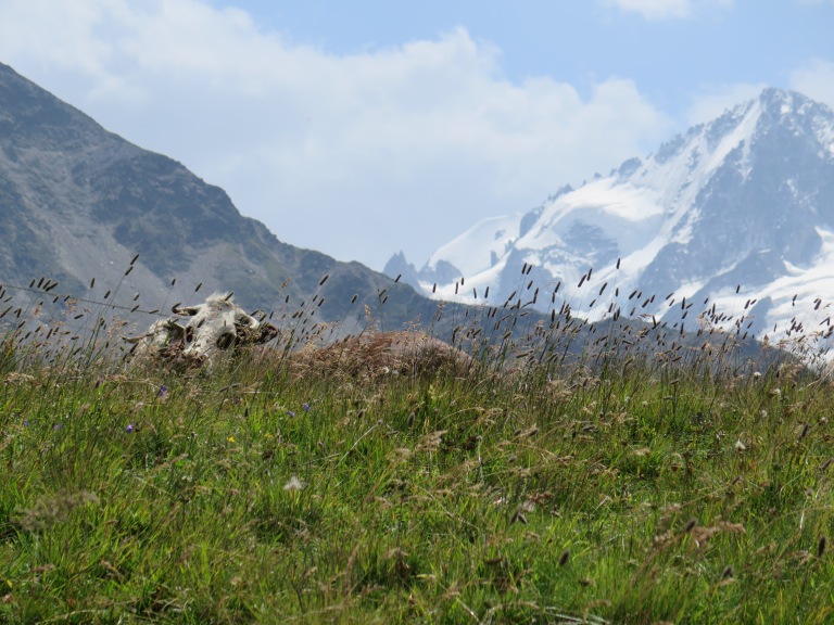
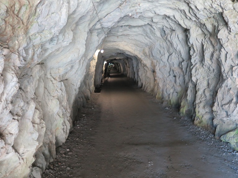
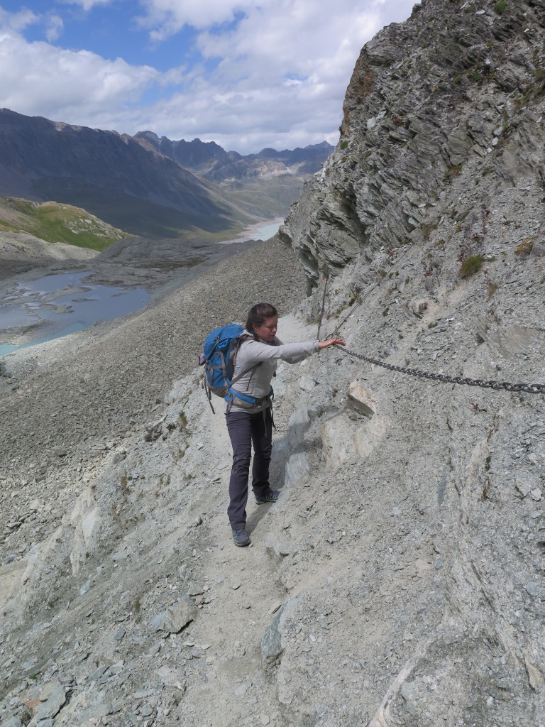
The hotel is described in the guide book as “exceptionally ugly but functional” and is at the base of one of the tallest dams in the world, the Barrage Dixence. Unfortunately, the little cable car we used to lose altitude the night before wasn’t running in the morning so we got to walk up next to the dam for about 45min. Following this, we had a long walk around the reservoir behind the dam, some of which included wandering through tunnels complete with solar lighting systems. This hike also had our first interaction with Swiss cows as we ran up a small embankment to avoid a heard of them running at us in front of a hydro company truck. The real challenge of the day started at the end of the reservoir where there is a very steep climb. The crux of the day was a set of ladders at the top of the Pas de Chevres that we wanted to be over before any weather might come in. In retrospect, the approach to the ladders up a very loose rock slope was much much worse than the actual ladders themselves (they were recently replaced in 2015). It took us about four and a half hours from our start point to get to the top of the ladders and since the predicted weather was nowhere in sight, we decided a nice hour-long lunch was in order. After our leisurely lunch we had about a two hour descent down into Arolla, with great views of the glacier. Once in the very charming town, we found our accommodations, the Hotel du Glacier which was by far the nicest stay of the trek. Our room had a balcony looking out over the valley where we relaxed for much of the afternoon. The hotel had a great dinner of raclette with potatoes and charcuterie, which we stuffed ourselves on.





Day 6:
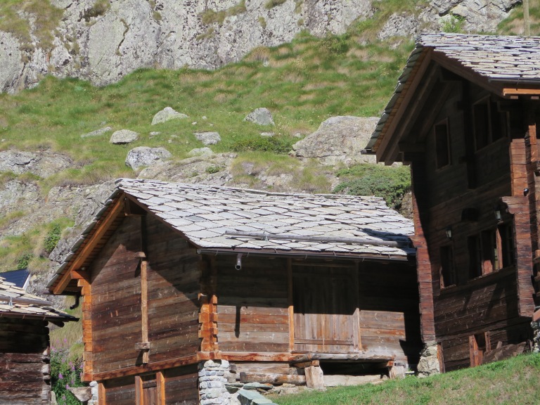
Since this was set up as a shorter day, we let ourselves sleep in and enjoy a leisurely breakfast before wandering the 9km down valley. It was nice not having any time pressure and we were able to stop multiple times along the way to appreciate the stone roofs that still topped many of the cabins in the valley. We stopped in at a small bar for a lunch of local cheeses and sausage before the one small uphill for the day. After lunch we wandered uphill to La Sage, where we found our accommodations. They were a bit run down but we again ended up with a dorm room to ourselves so that was a plus. We spent the afternoon reading and looking over the route for the next day. The second major variation from the route was the next day: a combination of two normal days with about 6000’ of elevation gain followed by a gondola down and a bus ride to the next village. The bus schedule is limited on Sundays so there were really only two times that looked like they might work. Also, the weather was calling for thunderstorms fairly early in the day so we wanted to know all of the points where we could shorten the day if needed. While the accommodations were not great, they did have a nice little restaurant and served us a great meal (soup, steak with potatoes and veggies, and a sundae for dessert).


More Alpine adventures to come! Including, “Theo makes a new friend.” Stay tuned…
